William Street coach park
Introduction
The photograph on this page of William Street coach park by Christopher Hall as part of the Geograph project.
The Geograph project started in 2005 with the aim of publishing, organising and preserving representative images for every square kilometre of Great Britain, Ireland and the Isle of Man.

There are currently over 7.5m images from over 14,400 individuals and you can help contribute to the project by visiting https://www.geograph.org.uk
William Street coach park
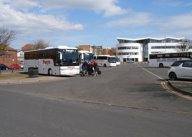
Image: © Christopher Hall Taken: 10 Apr 2014
William Street coach park is on the site of William street and the greater part of Hope Street which cleared as part of the general improvement area provisions. The new building in the right background is The Street. In the left background can be seen industrial units on the former Lower Durham Street which was also cleared.
Images are licensed for reuse under creativecommons.org/licenses/by-sa/2.0
Image Location
Latitude
54.285707
Longitude
-0.404553