The East Devon Way approaching Colyton
Introduction
The photograph on this page of The East Devon Way approaching Colyton by Trevor Harris as part of the Geograph project.
The Geograph project started in 2005 with the aim of publishing, organising and preserving representative images for every square kilometre of Great Britain, Ireland and the Isle of Man.

There are currently over 7.5m images from over 14,400 individuals and you can help contribute to the project by visiting https://www.geograph.org.uk
The East Devon Way approaching Colyton
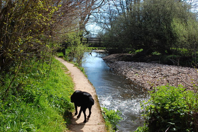
Image: © Trevor Harris Taken: 15 Apr 2014
The path here is concreted to save it from erosion by the River Coly. A footbridge over the river is just ahead.
Images are licensed for reuse under creativecommons.org/licenses/by-sa/2.0
Image Location
Latitude
50.744029
Longitude
-3.078946