Royal Military Canal, Priory Lands
Introduction
The photograph on this page of Royal Military Canal, Priory Lands by Simon Carey as part of the Geograph project.
The Geograph project started in 2005 with the aim of publishing, organising and preserving representative images for every square kilometre of Great Britain, Ireland and the Isle of Man.

There are currently over 7.5m images from over 14,400 individuals and you can help contribute to the project by visiting https://www.geograph.org.uk
Royal Military Canal, Priory Lands
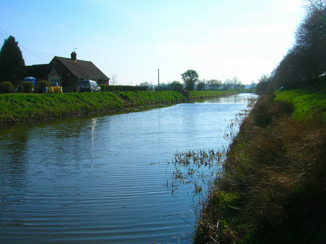
Image: © Simon Carey Taken: 8 Apr 2007
Heading out of Appledore before turning south towards Rye.
Images are licensed for reuse under creativecommons.org/licenses/by-sa/2.0
Image Location
Latitude
51.025972
Longitude
0.785437