Fleur de Lis, Brenzett
Introduction
The photograph on this page of Fleur de Lis, Brenzett by Simon Carey as part of the Geograph project.
The Geograph project started in 2005 with the aim of publishing, organising and preserving representative images for every square kilometre of Great Britain, Ireland and the Isle of Man.

There are currently over 7.5m images from over 14,400 individuals and you can help contribute to the project by visiting https://www.geograph.org.uk
Fleur de Lis, Brenzett
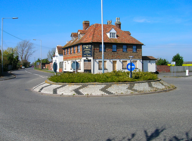
Image: © Simon Carey Taken: 8 Apr 2007
Former pub recently closed. The roundabout has also been superseded by the A259/A2070 junction. Once serving the busy B2080 and B2070 out of the marshes both roads are now quiet backwaters.
Images are licensed for reuse under creativecommons.org/licenses/by-sa/2.0
Image Location
Latitude
51.010383
Longitude
0.853651