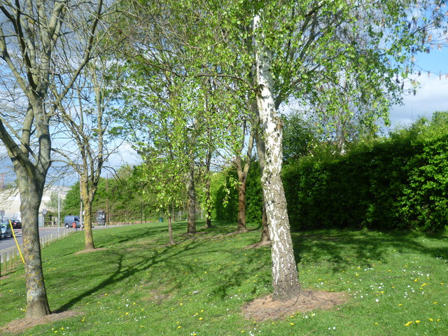
Route of the former railway alongside Pembury Road
Introduction
The photograph on this page of Route of the former railway alongside Pembury Road by Marathon as part of the Geograph project.
The Geograph project started in 2005 with the aim of publishing, organising and preserving representative images for every square kilometre of Great Britain, Ireland and the Isle of Man.
There are currently over 7.5m images from over 14,400 individuals and you can help contribute to the project by visiting https://www.geograph.org.uk

Image: © Marathon Taken: 18 Apr 2014
The present Tonbridge station opened in 1842. On 20th September 1845, a branch to Tunbridge Wells opened and the station was renamed Tunbridge Junction. Over the next five years the branch was extended to Hastings. Access to the line to Hastings was via an indirect link which required a reverse rather than directly as at present. This arrangement lasted until 1857 when the steeply climbing direct route was opened. The indirect line to Tunbridge Wells remained in use until just before the First World War, after which it was closed and the track dismantled. The route of the old link can easily be seen on Google Earth. It is more wooded and overgrown where it runs to the north of Hectorage Road, whereas alongside Pembury Road it is more manicured as seen here.

