Greencroft
Introduction
The photograph on this page of Greencroft by Ken Fitlike as part of the Geograph project.
The Geograph project started in 2005 with the aim of publishing, organising and preserving representative images for every square kilometre of Great Britain, Ireland and the Isle of Man.

There are currently over 7.5m images from over 14,400 individuals and you can help contribute to the project by visiting https://www.geograph.org.uk
Greencroft
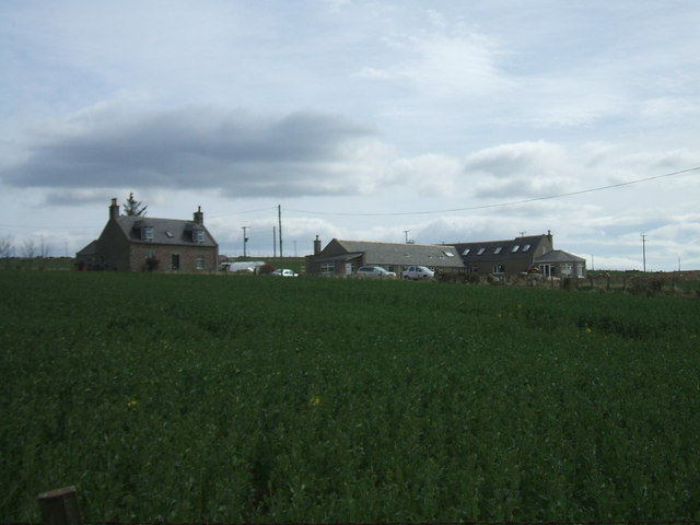
Image: © Ken Fitlike Taken: 8 Apr 2007
Typical Aberdeenshire farmhouse but with outbuildings being renovated and converted to new residential property
Images are licensed for reuse under creativecommons.org/licenses/by-sa/2.0
Image Location
Latitude
57.460623
Longitude
-2.057988