Loch Arklet
Introduction
The photograph on this page of Loch Arklet by John Myers as part of the Geograph project.
The Geograph project started in 2005 with the aim of publishing, organising and preserving representative images for every square kilometre of Great Britain, Ireland and the Isle of Man.

There are currently over 7.5m images from over 14,400 individuals and you can help contribute to the project by visiting https://www.geograph.org.uk
Loch Arklet
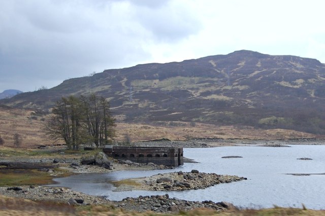
Image: © John Myers Taken: 16 Apr 2014
Aqueduct inlet feeding water from the reservoir into Loch Katrine just south of Stronachlachar
Images are licensed for reuse under creativecommons.org/licenses/by-sa/2.0
Image Location
Latitude
56.250726
Longitude
-4.592251