Ladysmill Burn joins the River Carron
Introduction
The photograph on this page of Ladysmill Burn joins the River Carron by M J Richardson as part of the Geograph project.
The Geograph project started in 2005 with the aim of publishing, organising and preserving representative images for every square kilometre of Great Britain, Ireland and the Isle of Man.

There are currently over 7.5m images from over 14,400 individuals and you can help contribute to the project by visiting https://www.geograph.org.uk
Ladysmill Burn joins the River Carron
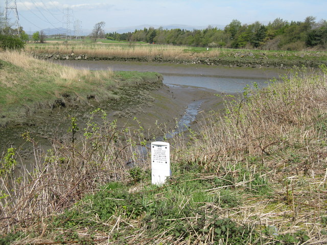
Image: © M J Richardson Taken: 19 Apr 2014
Looking north to the Ochil Hills beyond. The marker marks the path of the Finnart-Grangemouth oil pipeline Image
Images are licensed for reuse under creativecommons.org/licenses/by-sa/2.0
Image Location
Latitude
56.02107
Longitude
-3.757498