Farmland, Upavon
Introduction
The photograph on this page of Farmland, Upavon by Andrew Smith as part of the Geograph project.
The Geograph project started in 2005 with the aim of publishing, organising and preserving representative images for every square kilometre of Great Britain, Ireland and the Isle of Man.

There are currently over 7.5m images from over 14,400 individuals and you can help contribute to the project by visiting https://www.geograph.org.uk
Farmland, Upavon
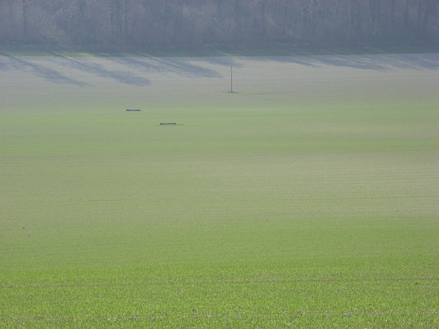
Image: © Andrew Smith Taken: 8 Apr 2007
Looking down to Rowden's Cleeve. The field boundaries shown by the Ordnance Survey no longer apply. There is just one large field stretching up from the A342 to the golf course.
Images are licensed for reuse under creativecommons.org/licenses/by-sa/2.0
Image Location


Leaflet Map data © OpenStreetMap
Latitude
51.289457
Longitude
-1.79632