Nethy Bridge
Introduction
The photograph on this page of Nethy Bridge by Peter Trimming as part of the Geograph project.
The Geograph project started in 2005 with the aim of publishing, organising and preserving representative images for every square kilometre of Great Britain, Ireland and the Isle of Man.

There are currently over 7.5m images from over 14,400 individuals and you can help contribute to the project by visiting https://www.geograph.org.uk
Nethy Bridge
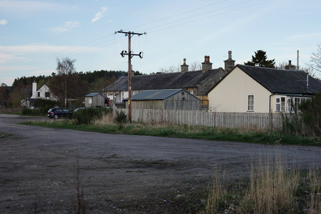
Image: © Peter Trimming Taken: 19 Apr 2014
The western edge of the village, looking towards the old station, which is now used as bunkhouse accommodation. Just out of picture, to the left, an area of land is currently for sale.
Images are licensed for reuse under creativecommons.org/licenses/by-sa/2.0
Image Location
Latitude
57.265998
Longitude
-3.658357