Footpath waymarker
Introduction
The photograph on this page of Footpath waymarker by Alan Hunt as part of the Geograph project.
The Geograph project started in 2005 with the aim of publishing, organising and preserving representative images for every square kilometre of Great Britain, Ireland and the Isle of Man.

There are currently over 7.5m images from over 14,400 individuals and you can help contribute to the project by visiting https://www.geograph.org.uk
Footpath waymarker
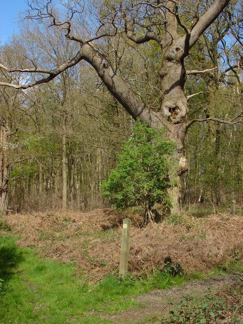
Image: © Alan Hunt Taken: 14 Apr 2014
A waymarker on the footpath that runs around the edge of the Legoland estate. The car parks are behind a hedge on the left.
Images are licensed for reuse under creativecommons.org/licenses/by-sa/2.0
Image Location
Latitude
51.461597
Longitude
-0.656814