Needham Street
Introduction
The photograph on this page of Needham Street by Bob Jones as part of the Geograph project.
The Geograph project started in 2005 with the aim of publishing, organising and preserving representative images for every square kilometre of Great Britain, Ireland and the Isle of Man.

There are currently over 7.5m images from over 14,400 individuals and you can help contribute to the project by visiting https://www.geograph.org.uk
Needham Street
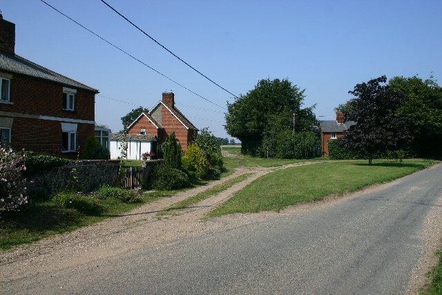
Image: © Bob Jones Taken: 17 Aug 2005
Needham Street is a tiny hamlet of less than ten houses, on a minor road between Kentford and Gazeley. The footpath leading north from the centre of the photo is part of the Icknield Way.
Images are licensed for reuse under creativecommons.org/licenses/by-sa/2.0
Image Location


Leaflet Map data © OpenStreetMap
Latitude
52.262568
Longitude
0.518922