Bench mark on Sontley Road
Introduction
The photograph on this page of Bench mark on Sontley Road by John S Turner as part of the Geograph project.
The Geograph project started in 2005 with the aim of publishing, organising and preserving representative images for every square kilometre of Great Britain, Ireland and the Isle of Man.

There are currently over 7.5m images from over 14,400 individuals and you can help contribute to the project by visiting https://www.geograph.org.uk
Bench mark on Sontley Road
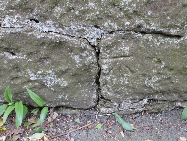
Image: © John S Turner Taken: 19 Apr 2014
This bench mark is recorded on the 1872-1954 O.S maps but is no longer recorded on the Ordnance Survey database. It is a few metres north of the well set into the roadside wall. There is supposed to be a more recent bench mark cut into the wall opposite, which is recorded on the O.S. database and the 1960-2 map, but I didn't see that mark. See also Image
Images are licensed for reuse under creativecommons.org/licenses/by-sa/2.0
Image Location
Latitude
53.031883
Longitude
-2.992772