South Dibberford Farmhouse
Introduction
The photograph on this page of South Dibberford Farmhouse by Derek Harper as part of the Geograph project.
The Geograph project started in 2005 with the aim of publishing, organising and preserving representative images for every square kilometre of Great Britain, Ireland and the Isle of Man.

There are currently over 7.5m images from over 14,400 individuals and you can help contribute to the project by visiting https://www.geograph.org.uk
South Dibberford Farmhouse
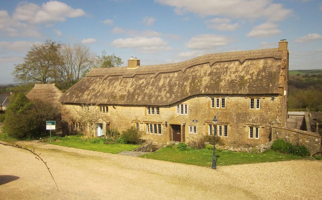
Image: © Derek Harper Taken: 13 Apr 2014
A grade II* listed C17 thatched farmhouse http://list.english-heritage.org.uk/resultsingle.aspx?uid=1118771&searchtype=mapsearch seen from the A3066.
Images are licensed for reuse under creativecommons.org/licenses/by-sa/2.0
Image Location


Leaflet Map data © OpenStreetMap
Latitude
50.830522
Longitude
-2.762161