Moor Road, Bestwood
Introduction
The photograph on this page of Moor Road, Bestwood by Alan Murray-Rust as part of the Geograph project.
The Geograph project started in 2005 with the aim of publishing, organising and preserving representative images for every square kilometre of Great Britain, Ireland and the Isle of Man.

There are currently over 7.5m images from over 14,400 individuals and you can help contribute to the project by visiting https://www.geograph.org.uk
Moor Road, Bestwood
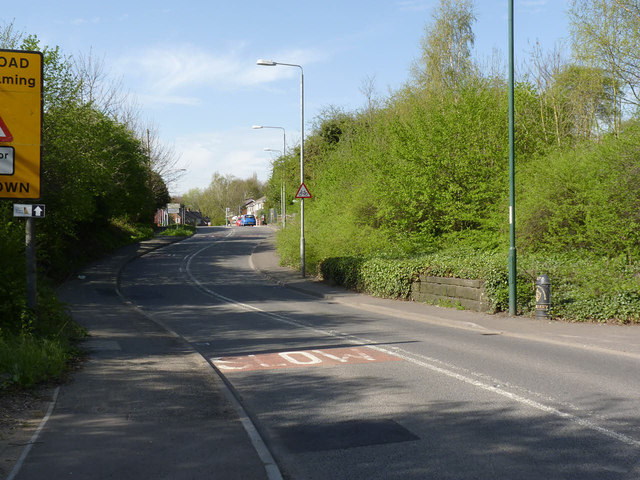
Image: © Alan Murray-Rust Taken: 16 Apr 2014
This is the meeting point of three local authorities, the actual point being in the middle of the road opposite the boundary marker to the right of the picture. The foreground is in the City of Nottingham, beyond, the centre line of the road is the boundary between Ashfield District (left) and Gedling Borough (right). The boundary marker http://www.geograph.org.uk/photo/3938689 was installed by the then Borough of Nottingham in 1877. The low wall beyond the boundary marker is the remains of the abutment of the railway bridge that crossed the road at this point; it carried the Midland Railway branch into Bestwood Colliery.
Images are licensed for reuse under creativecommons.org/licenses/by-sa/2.0
Image Location
Latitude
53.018571
Longitude
-1.182911