Mill leat approaching Rishworth Mill Lane
Introduction
The photograph on this page of Mill leat approaching Rishworth Mill Lane by Humphrey Bolton as part of the Geograph project.
The Geograph project started in 2005 with the aim of publishing, organising and preserving representative images for every square kilometre of Great Britain, Ireland and the Isle of Man.

There are currently over 7.5m images from over 14,400 individuals and you can help contribute to the project by visiting https://www.geograph.org.uk
Mill leat approaching Rishworth Mill Lane
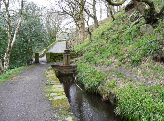
Image: © Humphrey Bolton Taken: 8 Apr 2014
The flow is culverted under the road and the channel continues on the other side. The path is not a public right-of-way, but it appears that there is permissive access.
Images are licensed for reuse under creativecommons.org/licenses/by-sa/2.0
Image Location
Latitude
53.656322
Longitude
-1.947156