Phelips Arms, Montacute
Introduction
The photograph on this page of Phelips Arms, Montacute by Philip Halling as part of the Geograph project.
The Geograph project started in 2005 with the aim of publishing, organising and preserving representative images for every square kilometre of Great Britain, Ireland and the Isle of Man.

There are currently over 7.5m images from over 14,400 individuals and you can help contribute to the project by visiting https://www.geograph.org.uk
Phelips Arms, Montacute
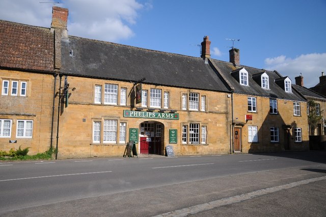
Image: © Philip Halling Taken: 14 Apr 2014
The Phelips Arms is named after the owners of nearby Montacute House until the early twentieth century.
Images are licensed for reuse under creativecommons.org/licenses/by-sa/2.0
Image Location
Latitude
50.94943
Longitude
-2.715419