Nelson Street pairing
Introduction
The photograph on this page of Nelson Street pairing by Bill Harrison as part of the Geograph project.
The Geograph project started in 2005 with the aim of publishing, organising and preserving representative images for every square kilometre of Great Britain, Ireland and the Isle of Man.

There are currently over 7.5m images from over 14,400 individuals and you can help contribute to the project by visiting https://www.geograph.org.uk
Nelson Street pairing
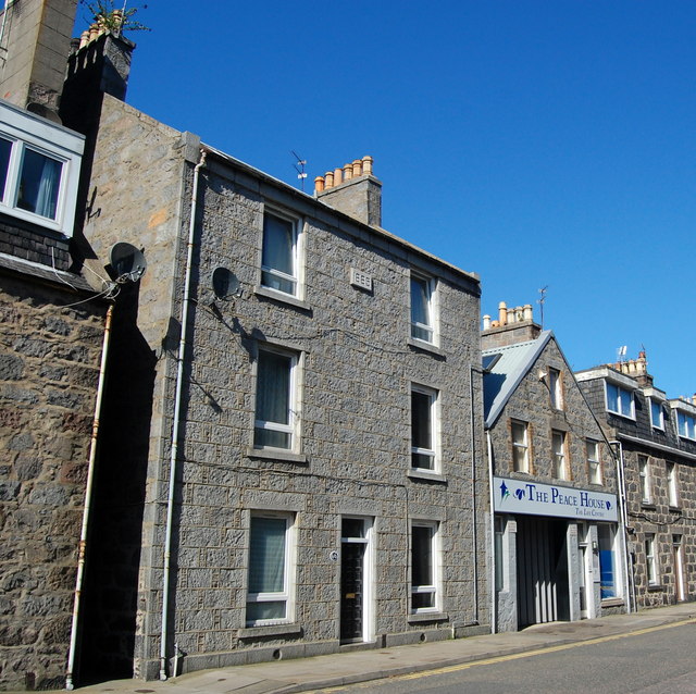
Image: © Bill Harrison Taken: 18 Apr 2014
A three-storey granite house from 1886 and a just-established Christian centre, which was formerly a printer's workshop.
Images are licensed for reuse under creativecommons.org/licenses/by-sa/2.0
Image Location
Latitude
57.154105
Longitude
-2.098994