Redlaw Burn
Introduction
The photograph on this page of Redlaw Burn by James T M Towill as part of the Geograph project.
The Geograph project started in 2005 with the aim of publishing, organising and preserving representative images for every square kilometre of Great Britain, Ireland and the Isle of Man.

There are currently over 7.5m images from over 14,400 individuals and you can help contribute to the project by visiting https://www.geograph.org.uk
Redlaw Burn
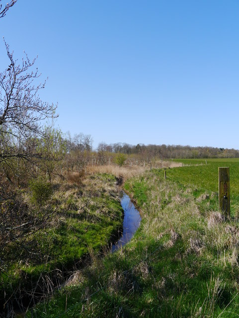
Image: © James T M Towill Taken: 18 Apr 2014
Running alongside Laws North Plantation, it drains fertile agricultural land.
Images are licensed for reuse under creativecommons.org/licenses/by-sa/2.0
Image Location
Latitude
55.741045
Longitude
-2.258153