Wash Lane, Sibton
Introduction
The photograph on this page of Wash Lane, Sibton by Geographer as part of the Geograph project.
The Geograph project started in 2005 with the aim of publishing, organising and preserving representative images for every square kilometre of Great Britain, Ireland and the Isle of Man.

There are currently over 7.5m images from over 14,400 individuals and you can help contribute to the project by visiting https://www.geograph.org.uk
Wash Lane, Sibton
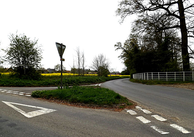
Image: © Geographer Taken: 17 Apr 2014
Looking towards Peasenhall at the junction with Abbey Road & Pouys Street & entrance to Sibton Abbey at Spink's Corner Road No.C209
Images are licensed for reuse under creativecommons.org/licenses/by-sa/2.0
Image Location
Latitude
52.274989
Longitude
1.457073