The Flats, Hexton Manor
Introduction
The photograph on this page of The Flats, Hexton Manor by Humphrey Bolton as part of the Geograph project.
The Geograph project started in 2005 with the aim of publishing, organising and preserving representative images for every square kilometre of Great Britain, Ireland and the Isle of Man.

There are currently over 7.5m images from over 14,400 individuals and you can help contribute to the project by visiting https://www.geograph.org.uk
The Flats, Hexton Manor
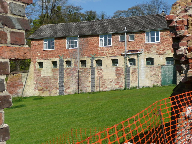
Image: © Humphrey Bolton Taken: 15 Apr 2014
This building is shown, but not captioned, on the 1882 and later 1:2500 maps. It appears to have been a stable or coach house block, and has now been converted to residential use.
Images are licensed for reuse under creativecommons.org/licenses/by-sa/2.0
Image Location
Latitude
51.960622
Longitude
-0.390304