Farmland off Donington Lane
Introduction
The photograph on this page of Farmland off Donington Lane by John M as part of the Geograph project.
The Geograph project started in 2005 with the aim of publishing, organising and preserving representative images for every square kilometre of Great Britain, Ireland and the Isle of Man.

There are currently over 7.5m images from over 14,400 individuals and you can help contribute to the project by visiting https://www.geograph.org.uk
Farmland off Donington Lane
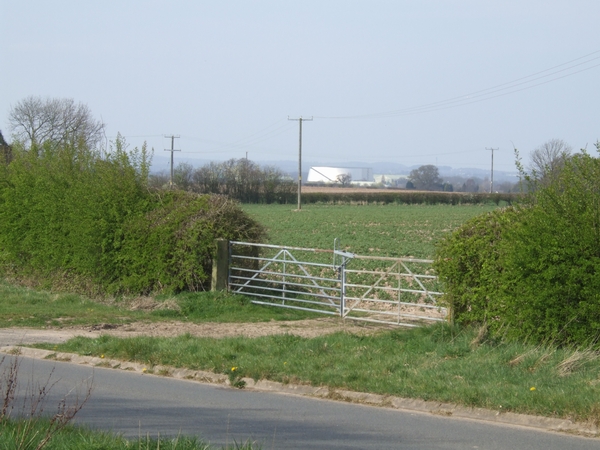
Image: © John M Taken: 8 Apr 2007
The skyline is dominated by the shiny silver Cold War Exhibition at RAF Cosford. This is visible for many miles around and is out of character in this rural view. Wouldn't it have been more fitting if it had blended into the landscape.
Images are licensed for reuse under creativecommons.org/licenses/by-sa/2.0
Image Location
Latitude
52.649903
Longitude
-2.266017