Site of a former church in Baildon
Introduction
The photograph on this page of Site of a former church in Baildon by Bill Boaden as part of the Geograph project.
The Geograph project started in 2005 with the aim of publishing, organising and preserving representative images for every square kilometre of Great Britain, Ireland and the Isle of Man.

There are currently over 7.5m images from over 14,400 individuals and you can help contribute to the project by visiting https://www.geograph.org.uk
Site of a former church in Baildon
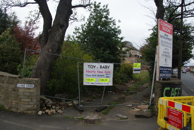
Image: © Bill Boaden Taken: 12 Apr 2014
This site is intended to be developed for housing though it is close to a notoriously busy junction. I don't know what sort of church was here before.
Images are licensed for reuse under creativecommons.org/licenses/by-sa/2.0
Image Location
Latitude
53.838486
Longitude
-1.772625