Llwybr Maerdy Mawr / Maerdy Mawr path
Introduction
The photograph on this page of Llwybr Maerdy Mawr / Maerdy Mawr path by Alan Richards as part of the Geograph project.
The Geograph project started in 2005 with the aim of publishing, organising and preserving representative images for every square kilometre of Great Britain, Ireland and the Isle of Man.

There are currently over 7.5m images from over 14,400 individuals and you can help contribute to the project by visiting https://www.geograph.org.uk
Llwybr Maerdy Mawr / Maerdy Mawr path
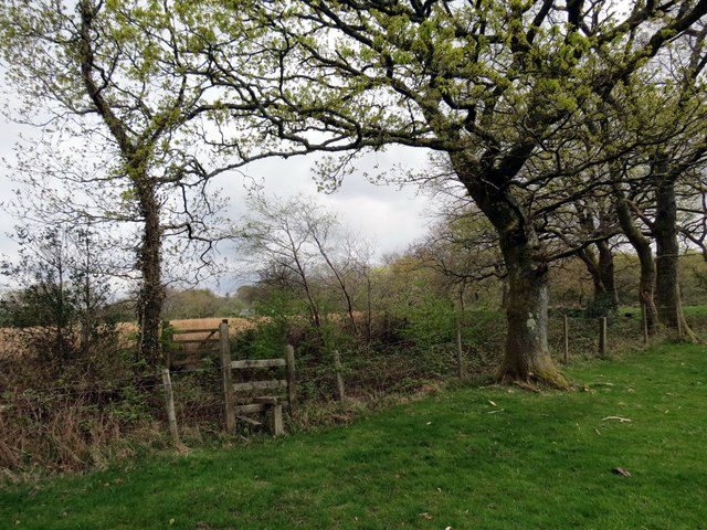
Image: © Alan Richards Taken: 17 Apr 2014
Sticil ar lwybr cyhoeddus sy'n cystylltu Ffarm Maerdy Mawr ag anhedd-dy Waun Bryn Cam. A stile on a footpath linking Maerdy Mawr Farm (poss. home farm) with a property known as Waun Bryn Cam (crooked hill fen)
Images are licensed for reuse under creativecommons.org/licenses/by-sa/2.0
Image Location
Latitude
51.776875
Longitude
-3.982845