Site of the first church in Beaufort
Introduction
The photograph on this page of Site of the first church in Beaufort by Jaggery as part of the Geograph project.
The Geograph project started in 2005 with the aim of publishing, organising and preserving representative images for every square kilometre of Great Britain, Ireland and the Isle of Man.

There are currently over 7.5m images from over 14,400 individuals and you can help contribute to the project by visiting https://www.geograph.org.uk
Site of the first church in Beaufort
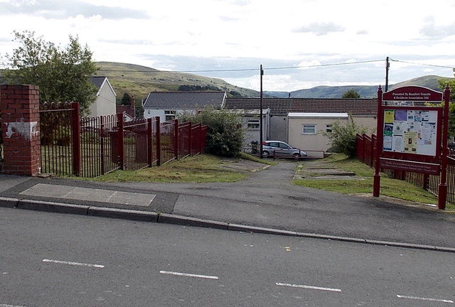
Image: © Jaggery Taken: 10 Sep 2013
The board on the right records that on this site stood Bethesda Presbyterian Chapel, the oldest church in Beaufort (opened in 1828, closed in 1986). The location is the south side of the A4047 Beaufort Rise.
Images are licensed for reuse under creativecommons.org/licenses/by-sa/2.0
Image Location
Latitude
51.796918
Longitude
-3.208597