A465 improvements, Nantybwch roundabout (11)
Introduction
The photograph on this page of A465 improvements, Nantybwch roundabout (11) by Robin Drayton as part of the Geograph project.
The Geograph project started in 2005 with the aim of publishing, organising and preserving representative images for every square kilometre of Great Britain, Ireland and the Isle of Man.

There are currently over 7.5m images from over 14,400 individuals and you can help contribute to the project by visiting https://www.geograph.org.uk
A465 improvements, Nantybwch roundabout (11)
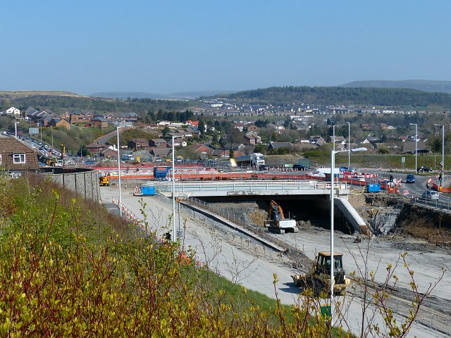
Image: © Robin Drayton Taken: 16 Apr 2014
Excavations for the new dual carriageway continue. See http://www.geograph.org.uk/photo/3890120 for one month earlier.
Images are licensed for reuse under creativecommons.org/licenses/by-sa/2.0
Image Location
Latitude
51.788004
Longitude
-3.261133