Holly Lane
Introduction
The photograph on this page of Holly Lane by Marathon as part of the Geograph project.
The Geograph project started in 2005 with the aim of publishing, organising and preserving representative images for every square kilometre of Great Britain, Ireland and the Isle of Man.

There are currently over 7.5m images from over 14,400 individuals and you can help contribute to the project by visiting https://www.geograph.org.uk
Holly Lane
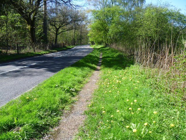
Image: © Marathon Taken: 16 Apr 2014
Holly Lane (B2219) runs between Chipstead and Banstead and is accordingly busy. Fortunately for the pedestrian there is a path alongside the road for most of the way. Here, Park Downs rise to the right of the road while Banstead Wood is to the left.
Images are licensed for reuse under creativecommons.org/licenses/by-sa/2.0
Image Location
Latitude
51.311602
Longitude
-0.188997