Iron Age Chariot
Introduction
The photograph on this page of Iron Age Chariot by bernard bradley as part of the Geograph project.
The Geograph project started in 2005 with the aim of publishing, organising and preserving representative images for every square kilometre of Great Britain, Ireland and the Isle of Man.

There are currently over 7.5m images from over 14,400 individuals and you can help contribute to the project by visiting https://www.geograph.org.uk
Iron Age Chariot
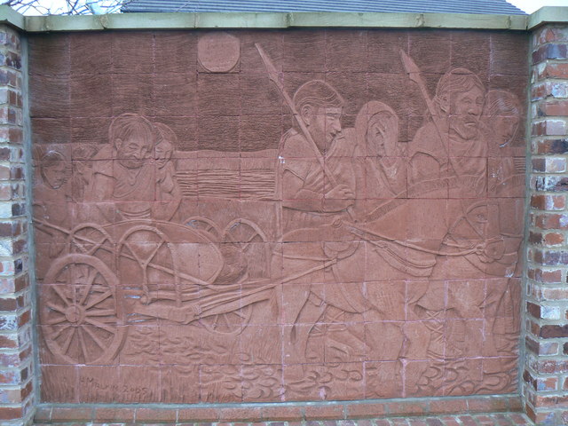
Image: © bernard bradley Taken: 30 Mar 2007
Tile Mosaic (H.Malkin) located off Saville Road nr junction of Church Street. Subject is an Iron Age Chariot remains of which had recently been uncovered nr Fryston Woods/ Ferrybridge Power Station during the construction of the new A1/M1 motorway.
Images are licensed for reuse under creativecommons.org/licenses/by-sa/2.0
Image Location
Latitude
53.728223
Longitude
-1.357014