Blaen Cendl, Beaufort
Introduction
The photograph on this page of Blaen Cendl, Beaufort by Jaggery as part of the Geograph project.
The Geograph project started in 2005 with the aim of publishing, organising and preserving representative images for every square kilometre of Great Britain, Ireland and the Isle of Man.

There are currently over 7.5m images from over 14,400 individuals and you can help contribute to the project by visiting https://www.geograph.org.uk
Blaen Cendl, Beaufort
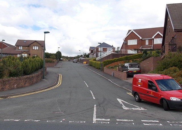
Image: © Jaggery Taken: 10 Sep 2013
Blaen Cendl is a cul-de-sac on the north side of the A4047. Derived from Edward and Jonathan Kendall who set up the Beaufort Iron Works in 1779, Cendl was the name of the original settlement in this area, and remains the Welsh language name for the village. The later name Beaufort was because much of the local land was originally owned by the Duke of Beaufort.
Images are licensed for reuse under creativecommons.org/licenses/by-sa/2.0
Image Location
Latitude
51.798584
Longitude
-3.204001