Ploughed field adjacent to the A41
Introduction
The photograph on this page of Ploughed field adjacent to the A41 by Espresso Addict as part of the Geograph project.
The Geograph project started in 2005 with the aim of publishing, organising and preserving representative images for every square kilometre of Great Britain, Ireland and the Isle of Man.

There are currently over 7.5m images from over 14,400 individuals and you can help contribute to the project by visiting https://www.geograph.org.uk
Ploughed field adjacent to the A41
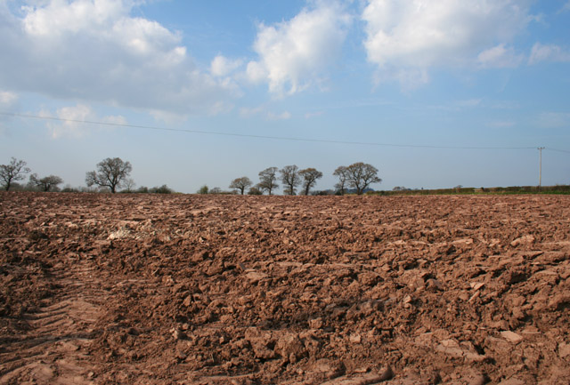
Image: © Espresso Addict Taken: 8 Apr 2007
A rare arable field in this area of predominantly pasture. The busy A41 runs beyond the hedge (right). View from Brassey's Contract Road
Images are licensed for reuse under creativecommons.org/licenses/by-sa/2.0
Image Location
Latitude
53.049394
Longitude
-2.764035