Heol Siloam, Beaufort
Introduction
The photograph on this page of Heol Siloam, Beaufort by Jaggery as part of the Geograph project.
The Geograph project started in 2005 with the aim of publishing, organising and preserving representative images for every square kilometre of Great Britain, Ireland and the Isle of Man.

There are currently over 7.5m images from over 14,400 individuals and you can help contribute to the project by visiting https://www.geograph.org.uk
Heol Siloam, Beaufort
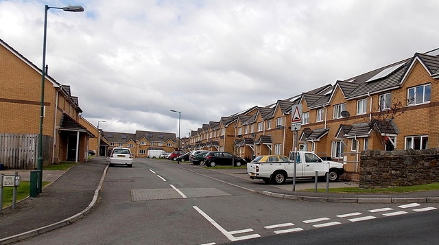
Image: © Jaggery Taken: 10 Sep 2013
Heol Siloam is a 120 metre long cul-de-sac of modern houses. The street name suggests that this used to be the location of a chapel or church named Siloam.
Images are licensed for reuse under creativecommons.org/licenses/by-sa/2.0
Image Location
Latitude
51.797337
Longitude
-3.202807