Higher Hall, near Edge Green
Introduction
The photograph on this page of Higher Hall, near Edge Green by Espresso Addict as part of the Geograph project.
The Geograph project started in 2005 with the aim of publishing, organising and preserving representative images for every square kilometre of Great Britain, Ireland and the Isle of Man.

There are currently over 7.5m images from over 14,400 individuals and you can help contribute to the project by visiting https://www.geograph.org.uk
Higher Hall, near Edge Green
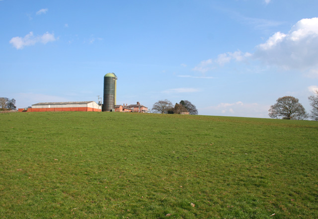
Image: © Espresso Addict Taken: 8 Apr 2007
The farm of Higher Hall stands on a rise at around 110m; its silage tower dominates the skyline to the south and west. The gently sloping pasture with occasional mature trees is typical of this gridsquare. The grade-II-listed farmhouse (centre) dates from around 1845. View from the junction of Edge Lane and the A41. For more information, see http://www.imagesofengland.org.uk/search/details.aspx?id=55155
Images are licensed for reuse under creativecommons.org/licenses/by-sa/2.0
Image Location
Latitude
53.048345
Longitude
-2.759392