Troeon cyfyng ar rhan uchaf Moat Lane /Sharp Bend on upper part of Moat Lane
Introduction
The photograph on this page of Troeon cyfyng ar rhan uchaf Moat Lane /Sharp Bend on upper part of Moat Lane by Ian Medcalf as part of the Geograph project.
The Geograph project started in 2005 with the aim of publishing, organising and preserving representative images for every square kilometre of Great Britain, Ireland and the Isle of Man.

There are currently over 7.5m images from over 14,400 individuals and you can help contribute to the project by visiting https://www.geograph.org.uk
Troeon cyfyng ar rhan uchaf Moat Lane /Sharp Bend on upper part of Moat Lane
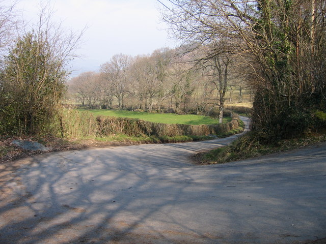
Image: © Ian Medcalf Taken: 2 Apr 2007
Troeon cyfyng ar rhan uchaf Moat Lane syn rhan o Lwybyr Beicio Sustrans 81 / Sharp Bend on upper part of Moat Lane which is part of the Sustrans Cycle Route 81
Images are licensed for reuse under creativecommons.org/licenses/by-sa/2.0
Image Location
Latitude
52.496864
Longitude
-3.404031