Jubilee Way Long Distance Footpath
Introduction
The photograph on this page of Jubilee Way Long Distance Footpath by Kate Jewell as part of the Geograph project.
The Geograph project started in 2005 with the aim of publishing, organising and preserving representative images for every square kilometre of Great Britain, Ireland and the Isle of Man.

There are currently over 7.5m images from over 14,400 individuals and you can help contribute to the project by visiting https://www.geograph.org.uk
Jubilee Way Long Distance Footpath
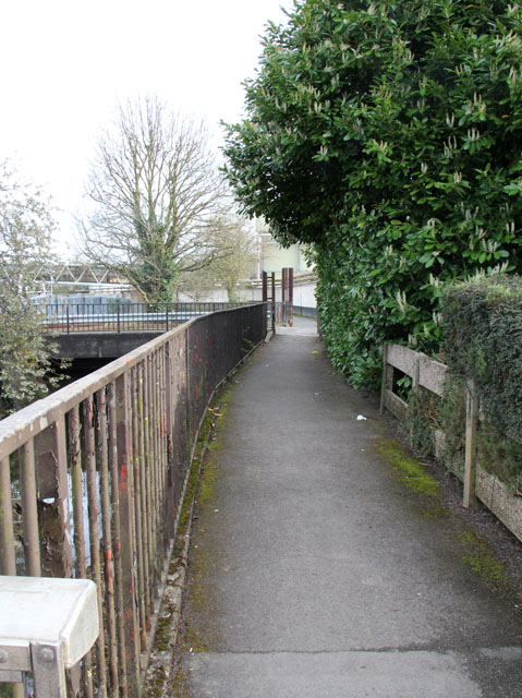
Image: © Kate Jewell Taken: 6 Apr 2014
This footpath follows the Scalford Brook, (to the left behind the railings), straight through the middle of the Mars pet food factory. Needless to say, you are well fenced in on this part of the walk!
Images are licensed for reuse under creativecommons.org/licenses/by-sa/2.0
Image Location


Leaflet Map data © OpenStreetMap
Latitude
52.762948
Longitude
-0.879596