Old Grantham Road
Introduction
The photograph on this page of Old Grantham Road by Alan Murray-Rust as part of the Geograph project.
The Geograph project started in 2005 with the aim of publishing, organising and preserving representative images for every square kilometre of Great Britain, Ireland and the Isle of Man.

There are currently over 7.5m images from over 14,400 individuals and you can help contribute to the project by visiting https://www.geograph.org.uk
Old Grantham Road
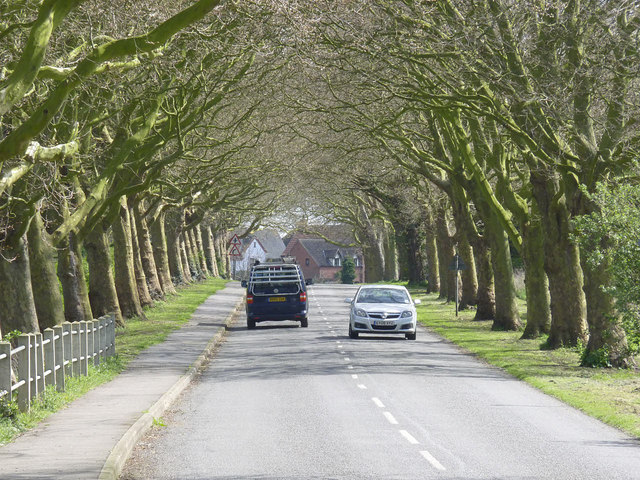
Image: © Alan Murray-Rust Taken: 13 Apr 2014
This became the 'Old' road after construction of the current A52 alignment avoiding the village, but was itself a replacement (sometime between 1930 and 1952) for the original road which is situated a little to the south.
Images are licensed for reuse under creativecommons.org/licenses/by-sa/2.0
Image Location
Latitude
52.947657
Longitude
-0.895369