Kirkland's Yard, Kneeton
Introduction
The photograph on this page of Kirkland's Yard, Kneeton by Alan Murray-Rust as part of the Geograph project.
The Geograph project started in 2005 with the aim of publishing, organising and preserving representative images for every square kilometre of Great Britain, Ireland and the Isle of Man.

There are currently over 7.5m images from over 14,400 individuals and you can help contribute to the project by visiting https://www.geograph.org.uk
Kirkland's Yard, Kneeton
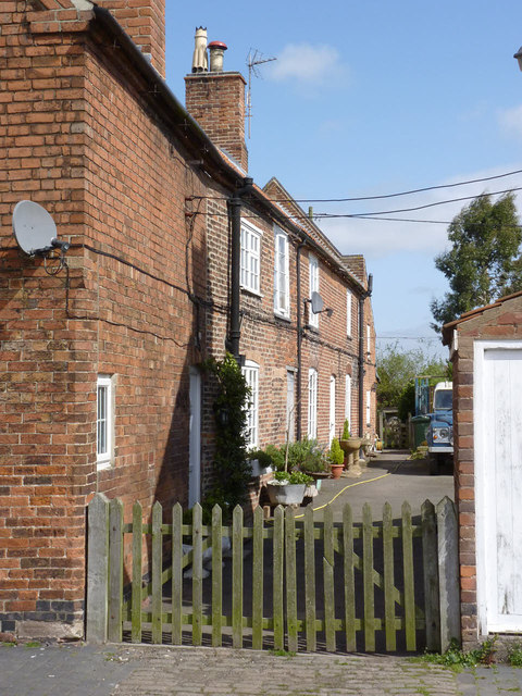
Image: © Alan Murray-Rust Taken: 13 Apr 2014
A typical burgage plot running off the main street, comprising two, formerly 3, dwellings from the mid 18th century. Listed Grade II, including the barn at the rear, part of Baker's Yard.
Images are licensed for reuse under creativecommons.org/licenses/by-sa/2.0
Image Location
Latitude
53.007595
Longitude
-0.942276