Main Street, Kneeton
Introduction
The photograph on this page of Main Street, Kneeton by Alan Murray-Rust as part of the Geograph project.
The Geograph project started in 2005 with the aim of publishing, organising and preserving representative images for every square kilometre of Great Britain, Ireland and the Isle of Man.

There are currently over 7.5m images from over 14,400 individuals and you can help contribute to the project by visiting https://www.geograph.org.uk
Main Street, Kneeton
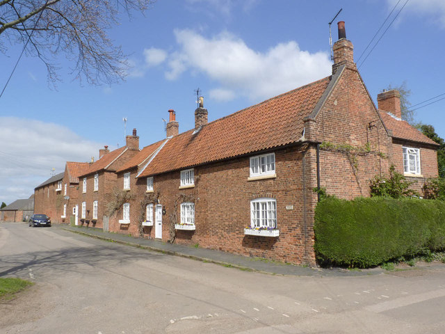
Image: © Alan Murray-Rust Taken: 13 Apr 2014
Corner Cottage (mid 18th century) and its immediate neighbour Mayfield Cottage (mid 19th) are Listed Grade II, as is the separate 2-bay cottage just beyond.
Images are licensed for reuse under creativecommons.org/licenses/by-sa/2.0
Image Location


Leaflet Map data © OpenStreetMap
Latitude
53.007324
Longitude
-0.942134