Cockermouth, Millers Bridge
Introduction
The photograph on this page of Cockermouth, Millers Bridge by David Dixon as part of the Geograph project.
The Geograph project started in 2005 with the aim of publishing, organising and preserving representative images for every square kilometre of Great Britain, Ireland and the Isle of Man.

There are currently over 7.5m images from over 14,400 individuals and you can help contribute to the project by visiting https://www.geograph.org.uk
Cockermouth, Millers Bridge
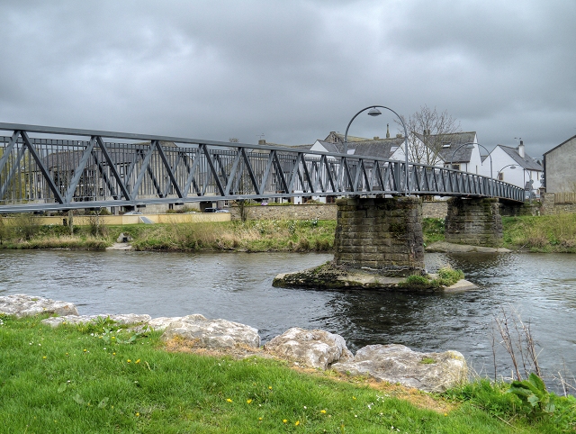
Image: © David Dixon Taken: 12 Apr 2014
Millers Bridge, as it is known in Cockermouth (official maps refer to it as Harris Bridge), was reopened in 2010 by HRH the Princess Royal after it had suffered severe damage in the 2009 floods and a section of it collapsed into the River Derwent. Part of the steel bridge had to be rebuilt to fit the new shape of the river banks, which were heavily eroded during the floods and have now been fortified. See Image
Images are licensed for reuse under creativecommons.org/licenses/by-sa/2.0
Image Location
Latitude
54.664544
Longitude
-3.368009