Jubilee Way Long Distance Footpath and Sustrans cycle route No.64
Introduction
The photograph on this page of Jubilee Way Long Distance Footpath and Sustrans cycle route No.64 by Kate Jewell as part of the Geograph project.
The Geograph project started in 2005 with the aim of publishing, organising and preserving representative images for every square kilometre of Great Britain, Ireland and the Isle of Man.

There are currently over 7.5m images from over 14,400 individuals and you can help contribute to the project by visiting https://www.geograph.org.uk
Jubilee Way Long Distance Footpath and Sustrans cycle route No.64
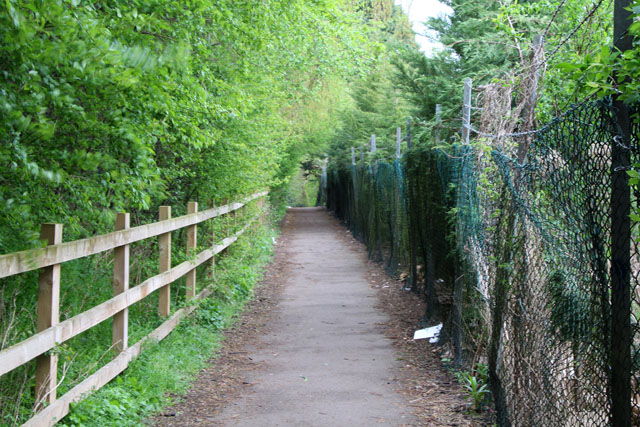
Image: © Kate Jewell Taken: 6 Apr 2014
Public footpath and cycle route to Melton Country Park To the left is the embankment of an old railway which screens the houses on Bickley Avenue from the industrial estate to the right of the path.
Images are licensed for reuse under creativecommons.org/licenses/by-sa/2.0
Image Location
Latitude
52.769168
Longitude
-0.881363