Underneath the Westway
Introduction
The photograph on this page of Underneath the Westway by David P Howard as part of the Geograph project.
The Geograph project started in 2005 with the aim of publishing, organising and preserving representative images for every square kilometre of Great Britain, Ireland and the Isle of Man.

There are currently over 7.5m images from over 14,400 individuals and you can help contribute to the project by visiting https://www.geograph.org.uk
Underneath the Westway
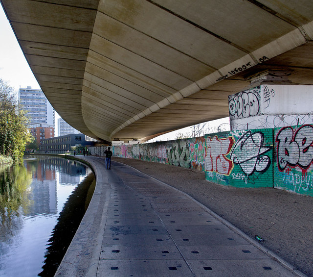
Image: © David P Howard Taken: 13 Apr 2014
The A40 Westway flyover arches above the Paddington Branch of the Grand Union Canal.
Images are licensed for reuse under creativecommons.org/licenses/by-sa/2.0
Image Location
Latitude
51.521454
Longitude
-0.198414