Greta Bridge, Keswick
Introduction
The photograph on this page of Greta Bridge, Keswick by David Dixon as part of the Geograph project.
The Geograph project started in 2005 with the aim of publishing, organising and preserving representative images for every square kilometre of Great Britain, Ireland and the Isle of Man.

There are currently over 7.5m images from over 14,400 individuals and you can help contribute to the project by visiting https://www.geograph.org.uk
Greta Bridge, Keswick
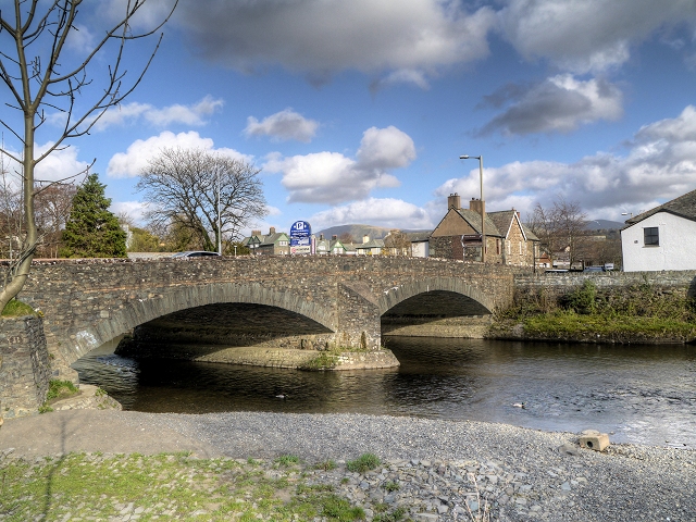
Image: © David Dixon Taken: 12 Apr 2014
The River Greta flows through the town of Keswick. It is a tributary of the River Derwent. The source of the river is to be found near to Threlkeld. The bridge, which takes traffic into (and out of) the centre of Keswick, was rebuilt in 1926.
Images are licensed for reuse under creativecommons.org/licenses/by-sa/2.0
Image Location
Latitude
54.603252
Longitude
-3.142405