Salt Subsidence Topography, Cheshire
Introduction
The photograph on this page of Salt Subsidence Topography, Cheshire by Peter Styles as part of the Geograph project.
The Geograph project started in 2005 with the aim of publishing, organising and preserving representative images for every square kilometre of Great Britain, Ireland and the Isle of Man.

There are currently over 7.5m images from over 14,400 individuals and you can help contribute to the project by visiting https://www.geograph.org.uk
Salt Subsidence Topography, Cheshire
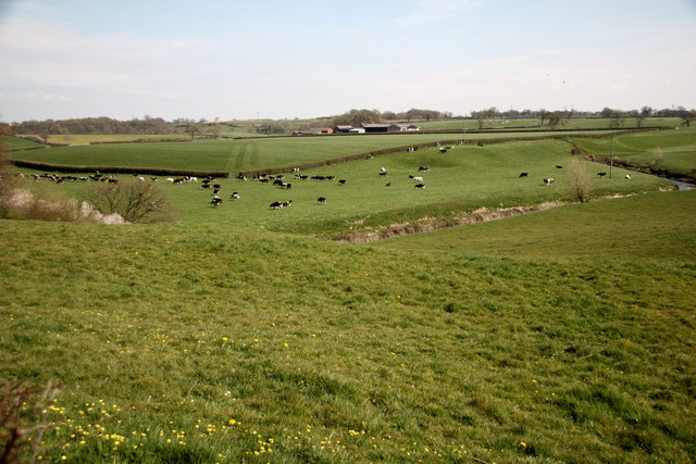
Image: © Peter Styles Taken: 8 Apr 2007
This undulating topography on the otherwise very flat Cheshire Plain near Wade's Green Hall between Winsford and Nantwich is caused by dissolution of the underlying Triassic salt horizons at what is known as "Wet Rockhead".
Images are licensed for reuse under creativecommons.org/licenses/by-sa/2.0
Image Location


Leaflet Map data © OpenStreetMap
Latitude
53.135151
Longitude
-2.512647