Norman Way, Melton Mowbray
Introduction
The photograph on this page of Norman Way, Melton Mowbray by Kate Jewell as part of the Geograph project.
The Geograph project started in 2005 with the aim of publishing, organising and preserving representative images for every square kilometre of Great Britain, Ireland and the Isle of Man.

There are currently over 7.5m images from over 14,400 individuals and you can help contribute to the project by visiting https://www.geograph.org.uk
Norman Way, Melton Mowbray
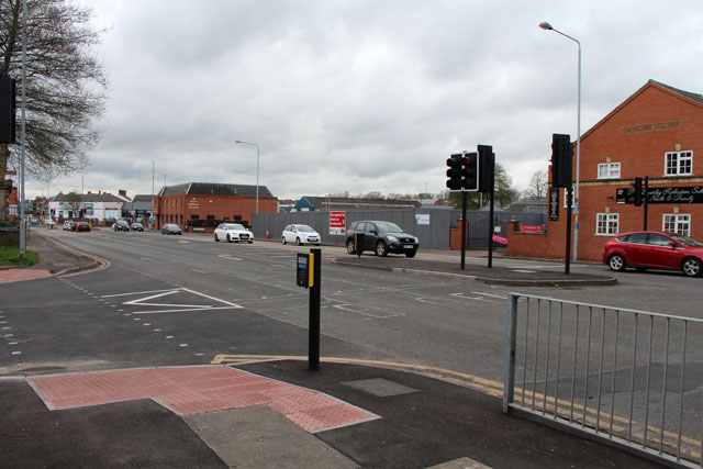
Image: © Kate Jewell Taken: 6 Apr 2014
Looking towards the junction with Scalford Road, The grey metal fence surrounds the site of the Melton Working Mens Club which was demolished in April 2013. It is the red brick building on the left in Image
Images are licensed for reuse under creativecommons.org/licenses/by-sa/2.0
Image Location
Latitude
52.766794
Longitude
-0.887056