The Viking Way approaching the top of Normanton Hill
Introduction
The photograph on this page of The Viking Way approaching the top of Normanton Hill by Tim Heaton as part of the Geograph project.
The Geograph project started in 2005 with the aim of publishing, organising and preserving representative images for every square kilometre of Great Britain, Ireland and the Isle of Man.

There are currently over 7.5m images from over 14,400 individuals and you can help contribute to the project by visiting https://www.geograph.org.uk
The Viking Way approaching the top of Normanton Hill
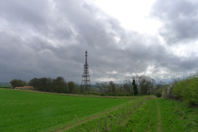
Image: © Tim Heaton Taken: 7 Apr 2014
The mast of the Post Office Repeater Station is sited slightly down the scarp slope of the 'Lincoln Cliff'
Images are licensed for reuse under creativecommons.org/licenses/by-sa/2.0
Image Location
Latitude
53.002845
Longitude
-0.57356