Llwybr Betws Path
Introduction
The photograph on this page of Llwybr Betws Path by Alan Richards as part of the Geograph project.
The Geograph project started in 2005 with the aim of publishing, organising and preserving representative images for every square kilometre of Great Britain, Ireland and the Isle of Man.

There are currently over 7.5m images from over 14,400 individuals and you can help contribute to the project by visiting https://www.geograph.org.uk
Llwybr Betws Path
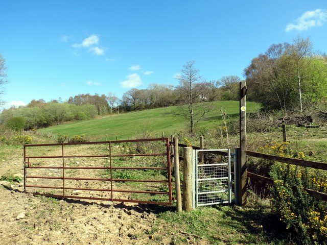
Image: © Alan Richards Taken: 14 Apr 2014
Llwybr cyhoeddus sy'n cysylltu Heol y Betws â Ffordd y Cyrnol. Gerllaw saif anhedd-dy Bryn yr Eithin. A public footpath which links Betws Road with Colonel Road. Nearby is a property known as Bryn yr Eithin (trans. Gorse Hill)
Images are licensed for reuse under creativecommons.org/licenses/by-sa/2.0
Image Location
Latitude
51.782611
Longitude
-3.978602