Top end of Benhams Lane
Introduction
The photograph on this page of Top end of Benhams Lane by easthantsxc as part of the Geograph project.
The Geograph project started in 2005 with the aim of publishing, organising and preserving representative images for every square kilometre of Great Britain, Ireland and the Isle of Man.

There are currently over 7.5m images from over 14,400 individuals and you can help contribute to the project by visiting https://www.geograph.org.uk
Top end of Benhams Lane
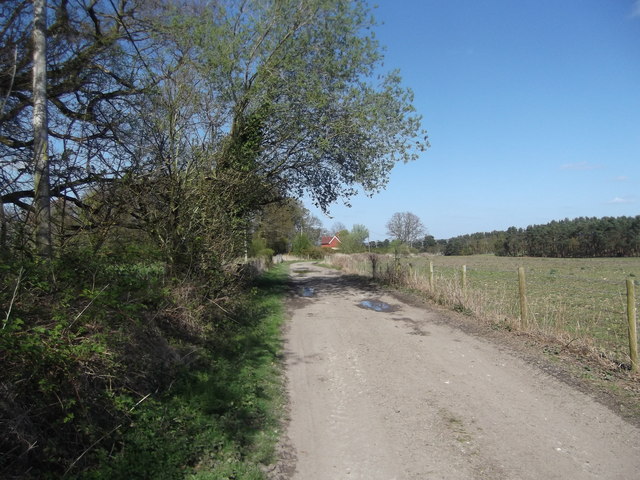
Image: © easthantsxc Taken: 13 Apr 2014
Nice little cyclable track. Cuts out a bit of the A325.
Images are licensed for reuse under creativecommons.org/licenses/by-sa/2.0
Image Location
Latitude
51.083692
Longitude
-0.883229