Friar's Walk
Introduction
The photograph on this page of Friar's Walk by Richard Webb as part of the Geograph project.
The Geograph project started in 2005 with the aim of publishing, organising and preserving representative images for every square kilometre of Great Britain, Ireland and the Isle of Man.

There are currently over 7.5m images from over 14,400 individuals and you can help contribute to the project by visiting https://www.geograph.org.uk
Friar's Walk
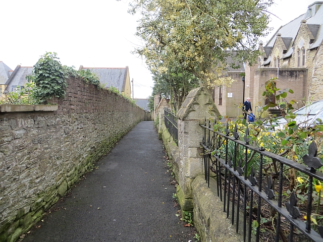
Image: © Richard Webb Taken: 7 Apr 2014
Running along the site of the town wall beside old school buildings. The building has been used by a variety of schools over the years. In 1972 St Lawrence School merged with the other (not C of E) school and moved to Clee View. Sometime later it resumed its independence at a new site on the old playing fields further down Friar's Walk. On the left is the site of the police station, again replaced by a nearby modern building.
Images are licensed for reuse under creativecommons.org/licenses/by-sa/2.0
Image Location
Latitude
52.367565
Longitude
-2.712999