View down Pudding Lane from Eastcheap
Introduction
The photograph on this page of View down Pudding Lane from Eastcheap by Robert Lamb as part of the Geograph project.
The Geograph project started in 2005 with the aim of publishing, organising and preserving representative images for every square kilometre of Great Britain, Ireland and the Isle of Man.

There are currently over 7.5m images from over 14,400 individuals and you can help contribute to the project by visiting https://www.geograph.org.uk
View down Pudding Lane from Eastcheap
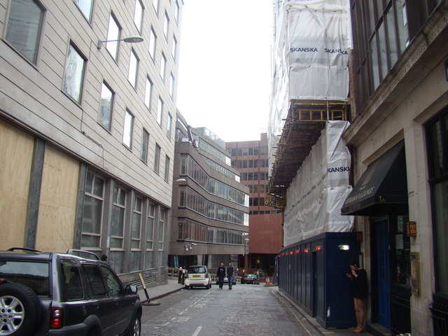
Image: © Robert Lamb Taken: 12 Apr 2014
Pudding Lane was the location of Thomas Fareiner's bakery where the Great Fire of London began in 1666. It is around 62m from the nearby Monument. How do I know this? The height of the Monument (62m) equals the distance from it to the site of the bakers' shop! Looking south-southwest.
Images are licensed for reuse under creativecommons.org/licenses/by-sa/2.0
Image Location
Latitude
51.510201
Longitude
-0.084145