West side of Gilfach Goch Community & Recreation Centre
Introduction
The photograph on this page of West side of Gilfach Goch Community & Recreation Centre by Jaggery as part of the Geograph project.
The Geograph project started in 2005 with the aim of publishing, organising and preserving representative images for every square kilometre of Great Britain, Ireland and the Isle of Man.

There are currently over 7.5m images from over 14,400 individuals and you can help contribute to the project by visiting https://www.geograph.org.uk
West side of Gilfach Goch Community & Recreation Centre
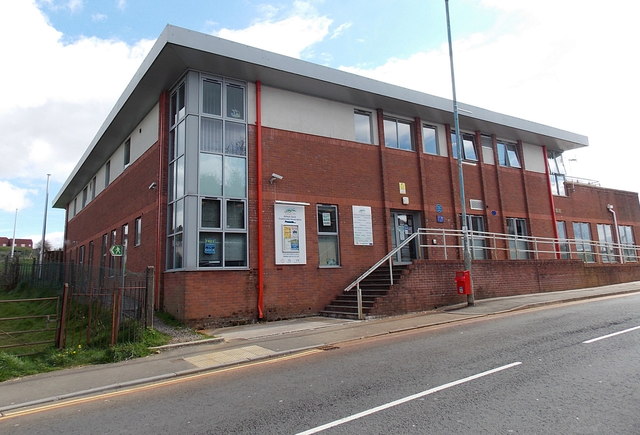
Image: © Jaggery Taken: 11 Apr 2014
Viewed across Cambrian Road. The centre offers a wide variety of activities, and hosts several key services. The centre can be hired for parties, functions etc. A blue plaque http://www.geograph.org.uk/photo/3933678 on the wall records that the village inspired Richard Llewellyn to write "How Green Was My Valley".
Images are licensed for reuse under creativecommons.org/licenses/by-sa/2.0
Image Location
Latitude
51.583192
Longitude
-3.468345