High Street
Introduction
The photograph on this page of High Street by Anne Burgess as part of the Geograph project.
The Geograph project started in 2005 with the aim of publishing, organising and preserving representative images for every square kilometre of Great Britain, Ireland and the Isle of Man.

There are currently over 7.5m images from over 14,400 individuals and you can help contribute to the project by visiting https://www.geograph.org.uk
High Street
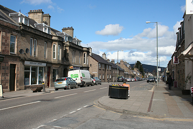
Image: © Anne Burgess Taken: 10 Apr 2014
This is a typical high street of a planned town, with a wide straight street, and the houses (mostly) aligned with their long elevation to the street. The width of the street allows plenty of space for parking, an amenity obviously not in the minds of those who planned the layout for Charles Grant of Wester Elchies in 1812.
Images are licensed for reuse under creativecommons.org/licenses/by-sa/2.0
Image Location
Latitude
57.47113
Longitude
-3.224267